Project aether
DUSF developed custom tracking systems and hardware to send scientific payloads to the edge of space on helium balloons. Using simulations and real-time telemetry, DUSF ensured the payloads were successfully recovered after each balloon burst.
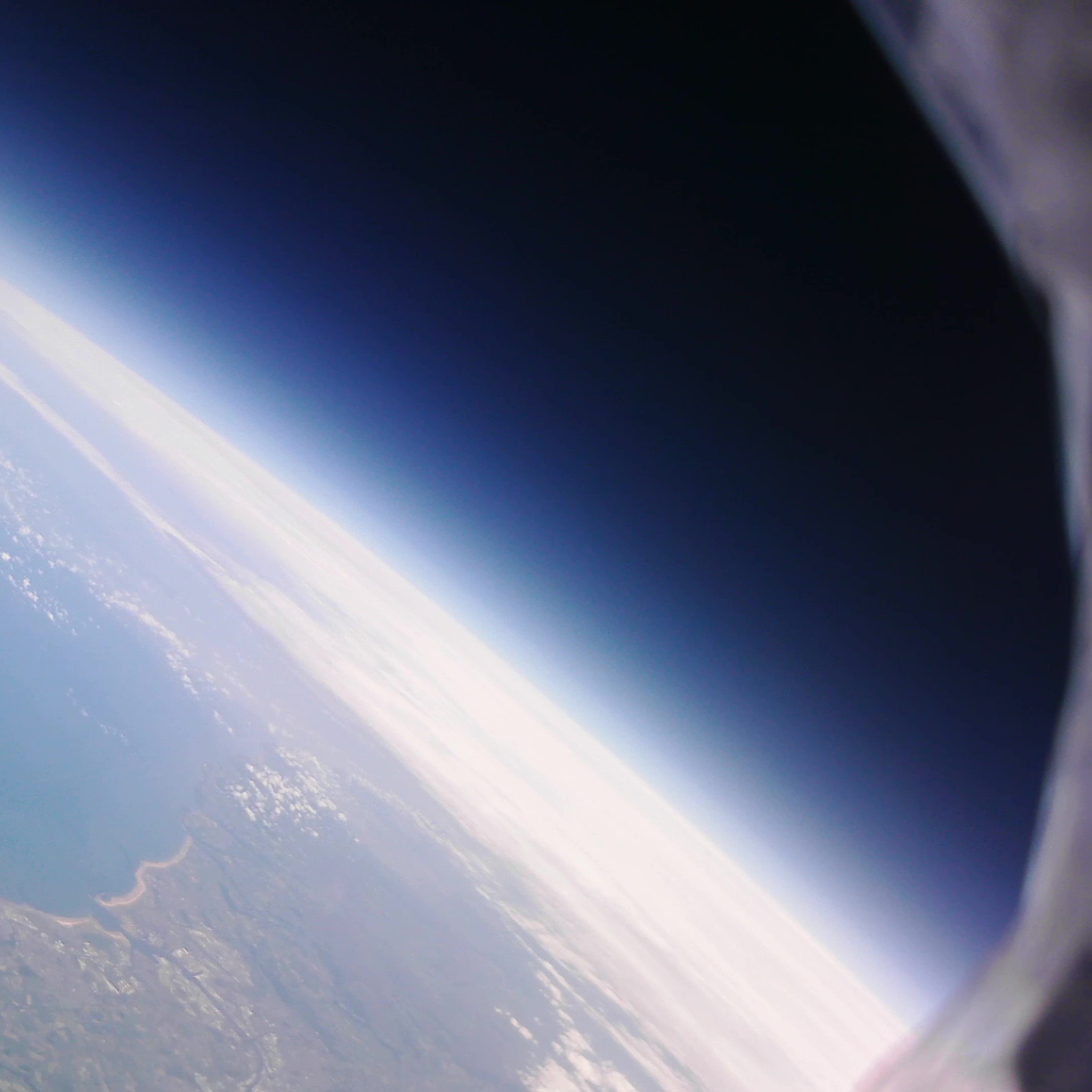


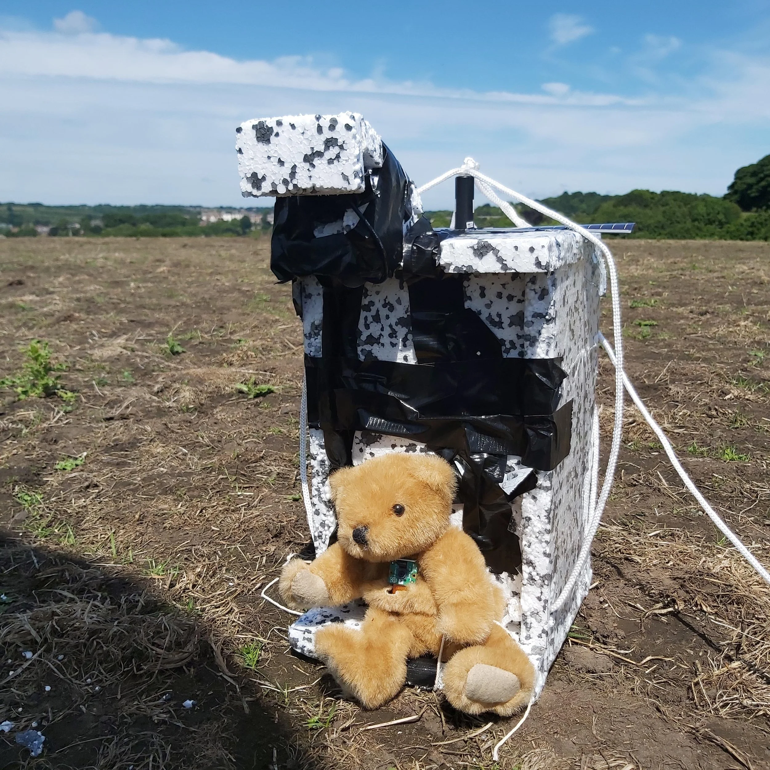
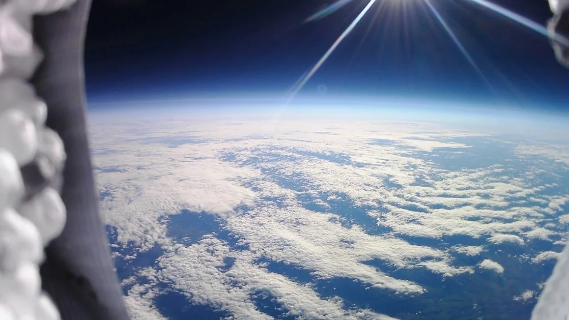
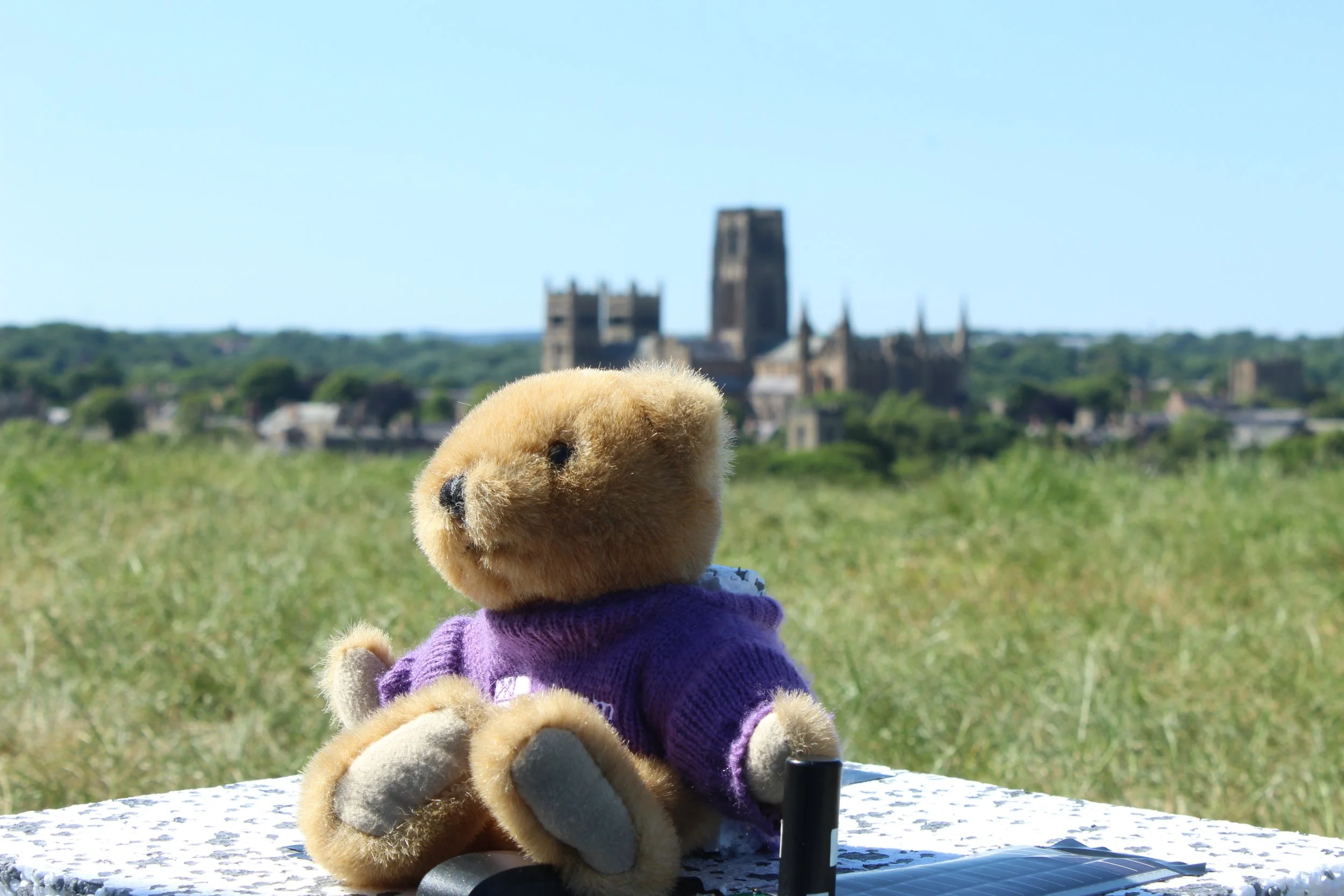
In June 2020, DUSF successfully launched our first high-altitude balloon, Aether I to the edge of space. The balloon was equipped with two cameras and a solar tracker. It steadily rose to an estimated altitude of 19km capturing some incredible images of the Northwest of England and beautiful shots of the horizon with the familiar blue haze that dissipates to the darkness of space.
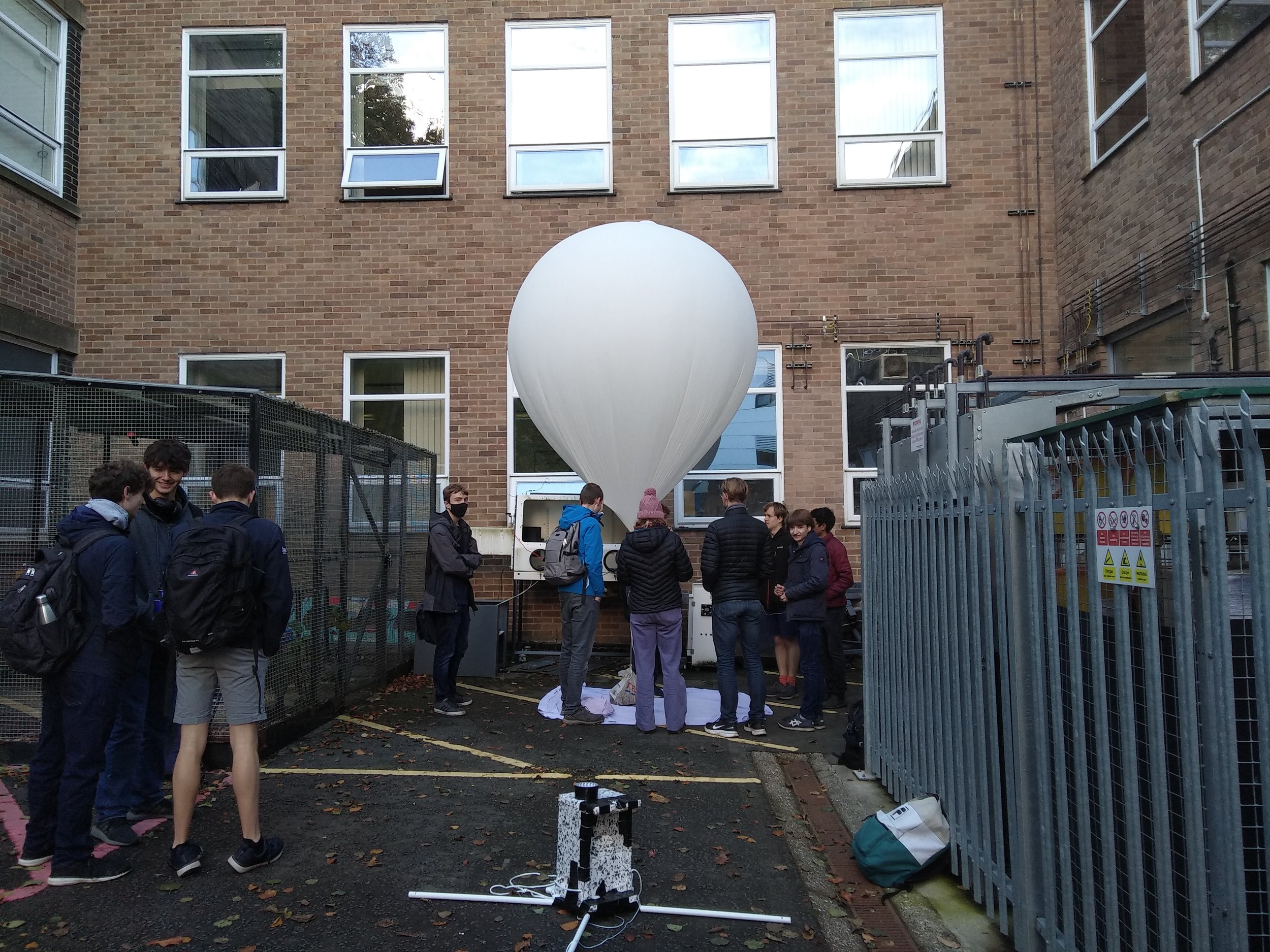
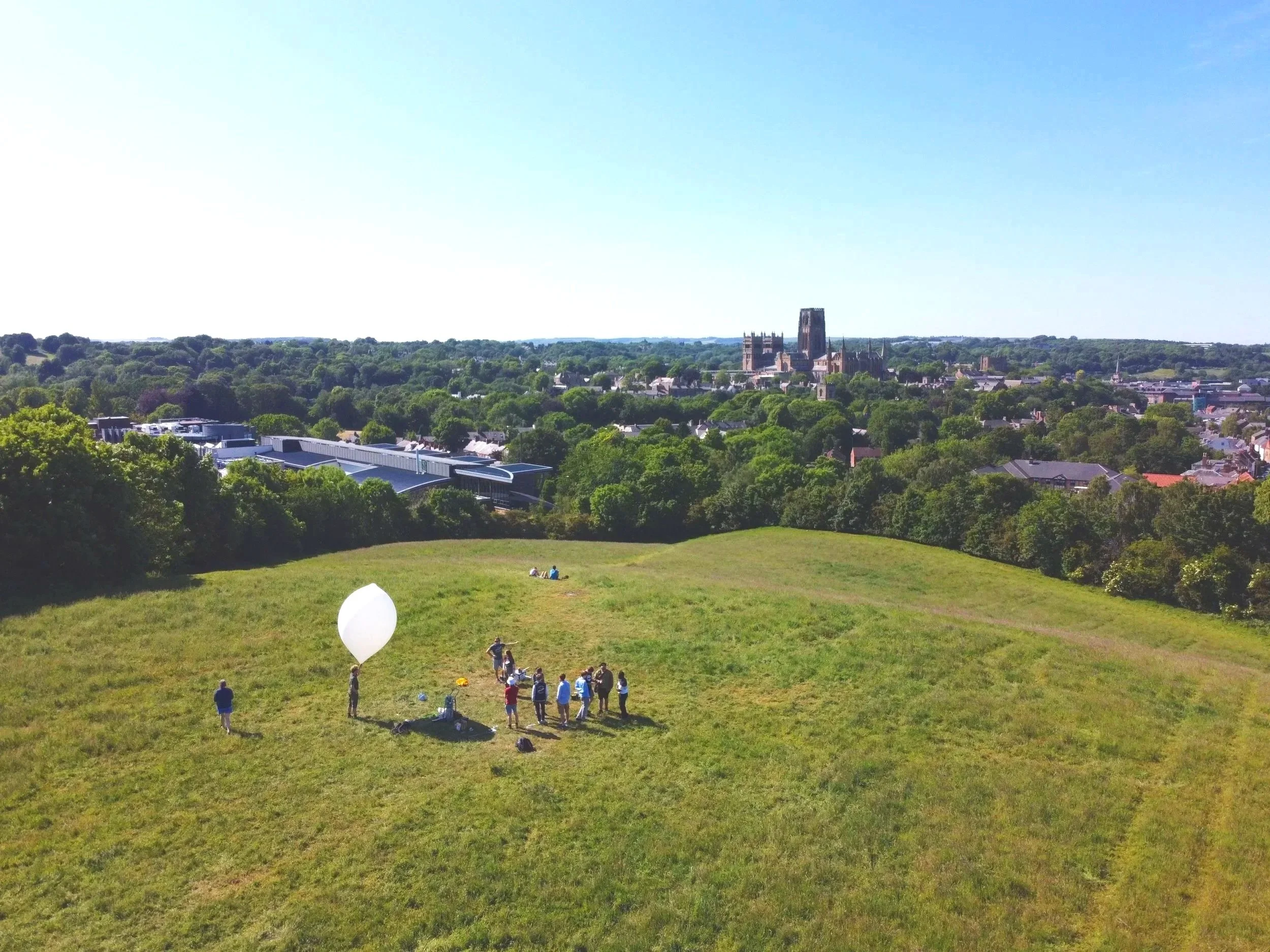
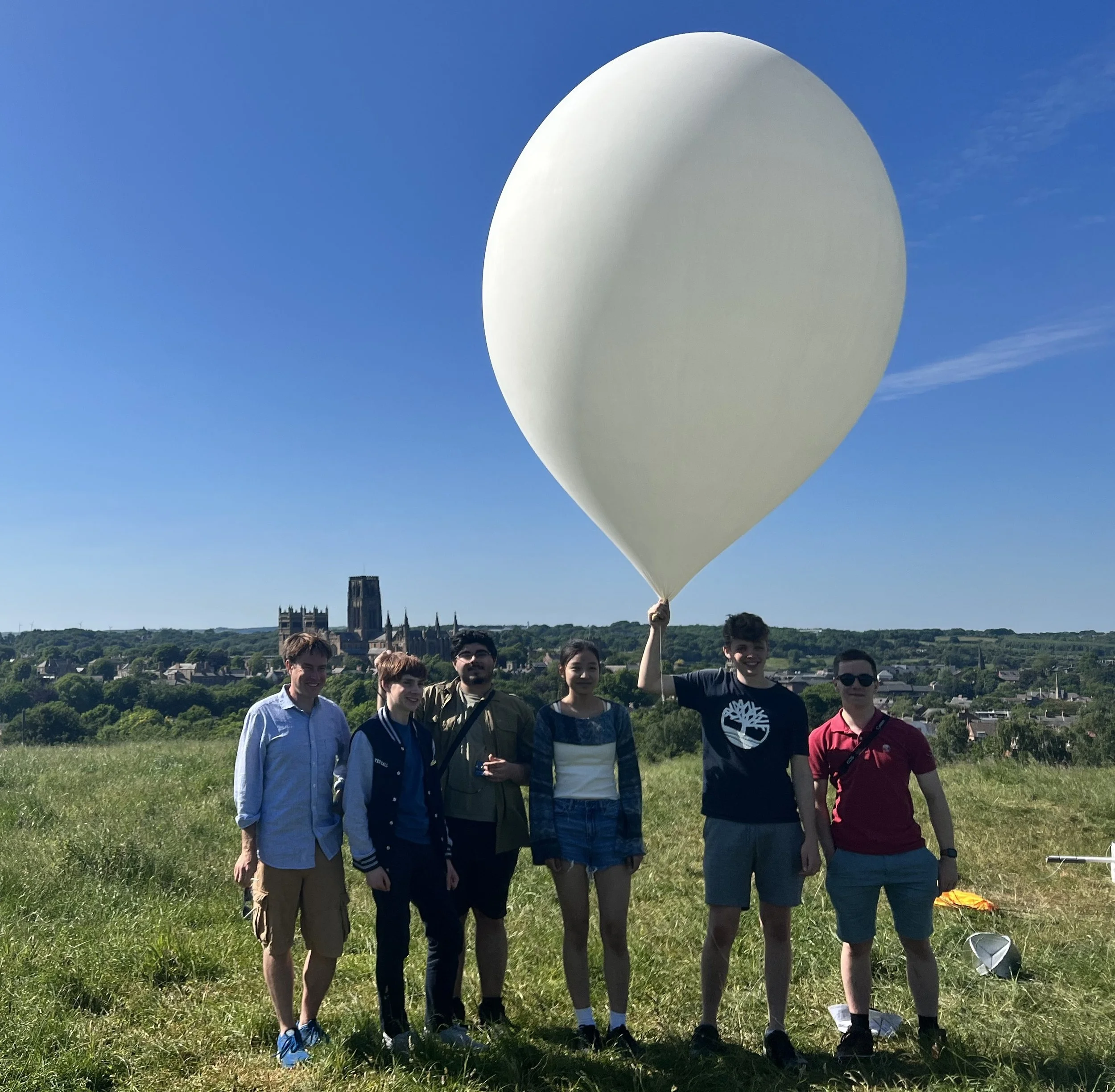
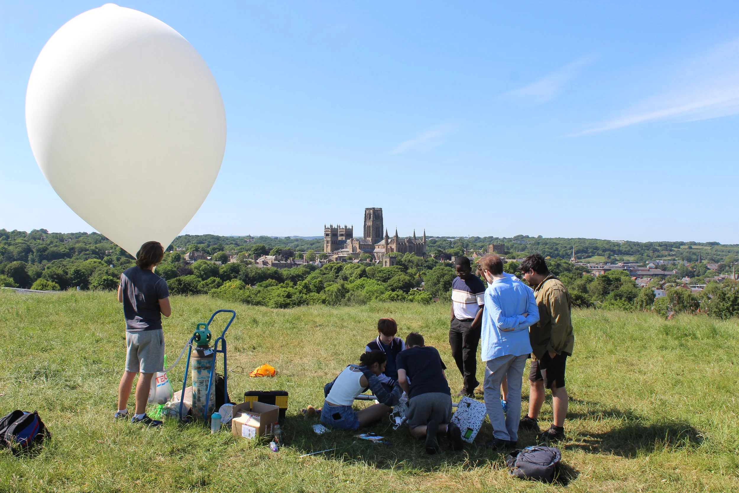
Our team worked remotely over the course of the year to research, design and build the balloon payload. The balloon was inflated with helium at the Physics Department and then launched from Mountjoy Hill on the Science Site.
This flight was tracked using a solar Iridium beacon that relayed GPS data and sensor readings to us via the Iridium satellite constellation. This allowed us to follow the balloon in real-time and find it after it had landed. Due to some anomaly mid-flight, the beacon failed to transmit ~10 sequential messages so the maximum altitude reached had to be calculated using predictions from the acquired data and compared to the footage captured.
After a flight time of 88 minutes, the payload landed south of Consett, a town just outside of the North Pennines around 19 miles from Durham. All equipment used was then successfully recovered by the team.
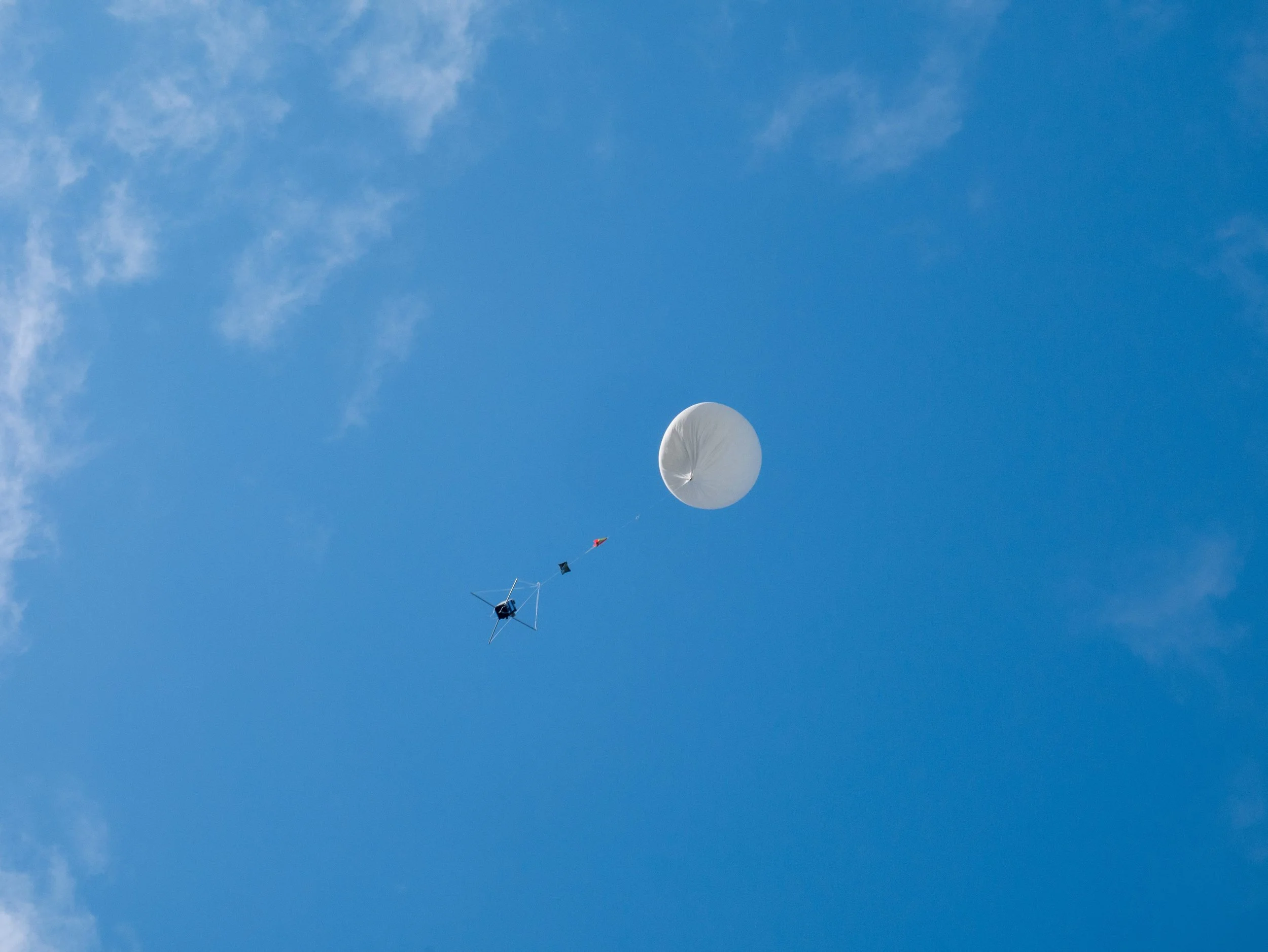
DUSF’s second high-altitude balloon project, Aether II, was launched from James' Hill on Thursday, 4 November 2021. An enthusiastic team of 15 students witnessed the release of the Helium Latex balloon with great excitement.
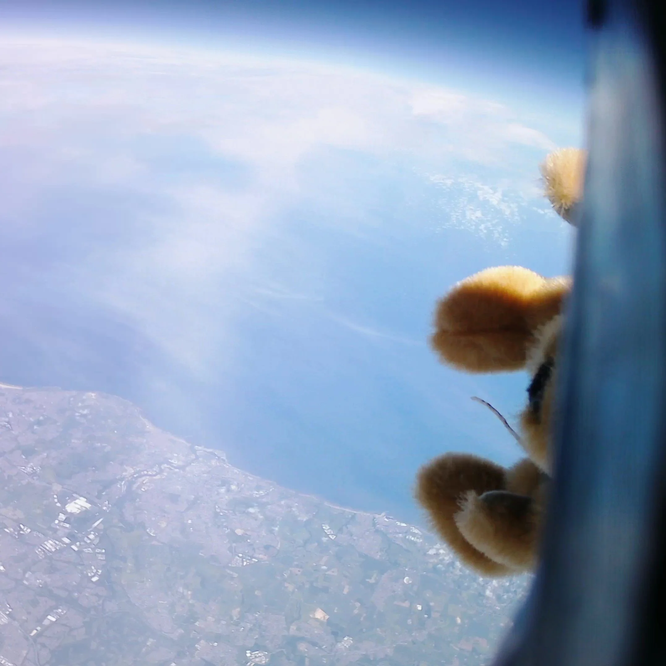
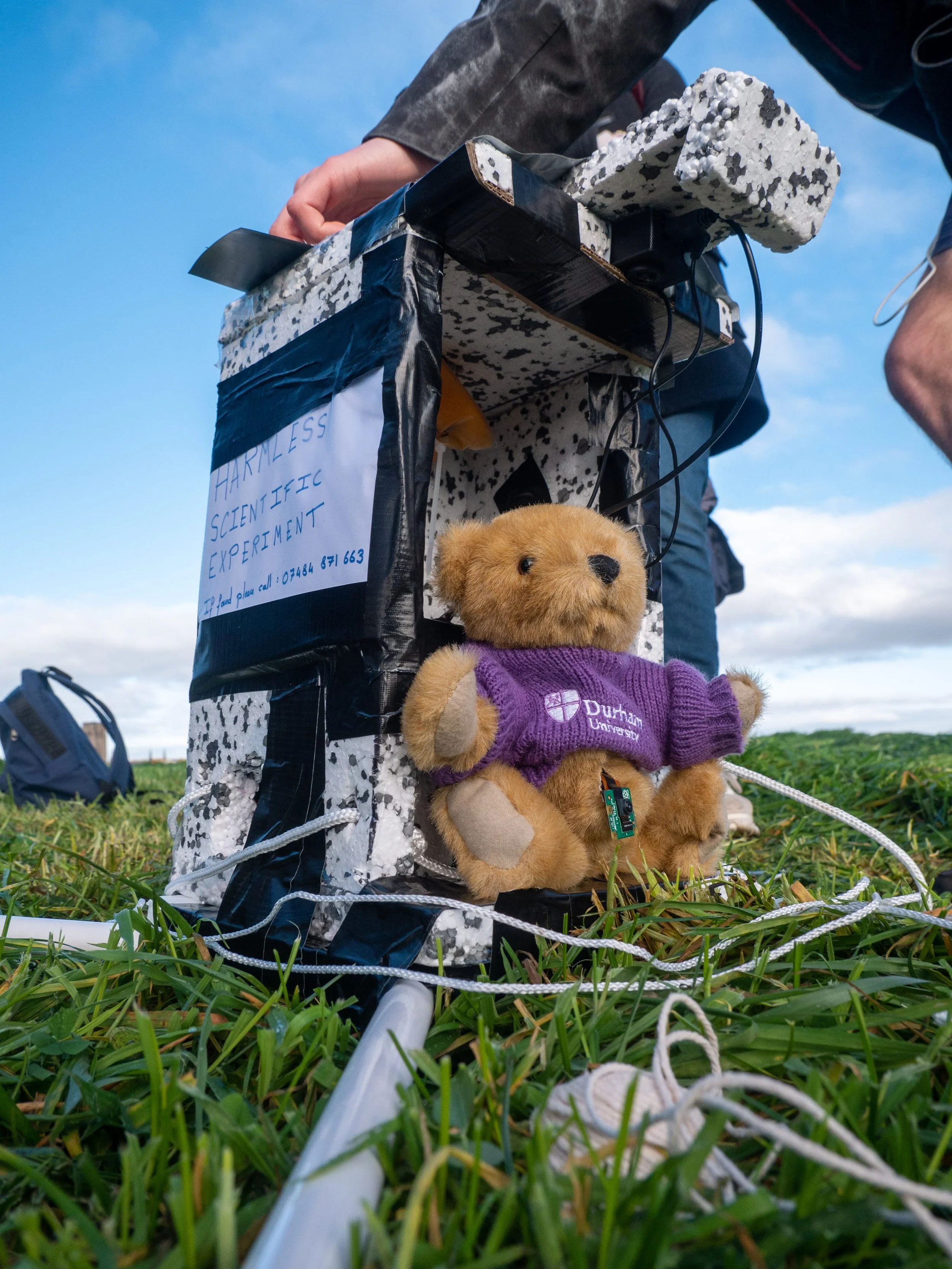
The project spanned over a month during which students met up every Monday to discuss and design the payload, electronics, and mechanical components of the Balloon. Similar to its predecessor Aether I, Aether II is equipped with a teddy bear photographer/pilot with an addition of two data-log trackers. The solar iridium satellite tracker relayed the GPS and sensor data back to the team via the iridium satellite constellation.
The balloon spent 2hrs 30min in flight and travelled 177 km. It reached the target altitude of 34km before bursting and landing in the peak district; was eventually retrieved by two team members. With the introduction of a stabilisation system, the camera in the payload recorded beautiful high-quality footage of Earth seen from the stratosphere.
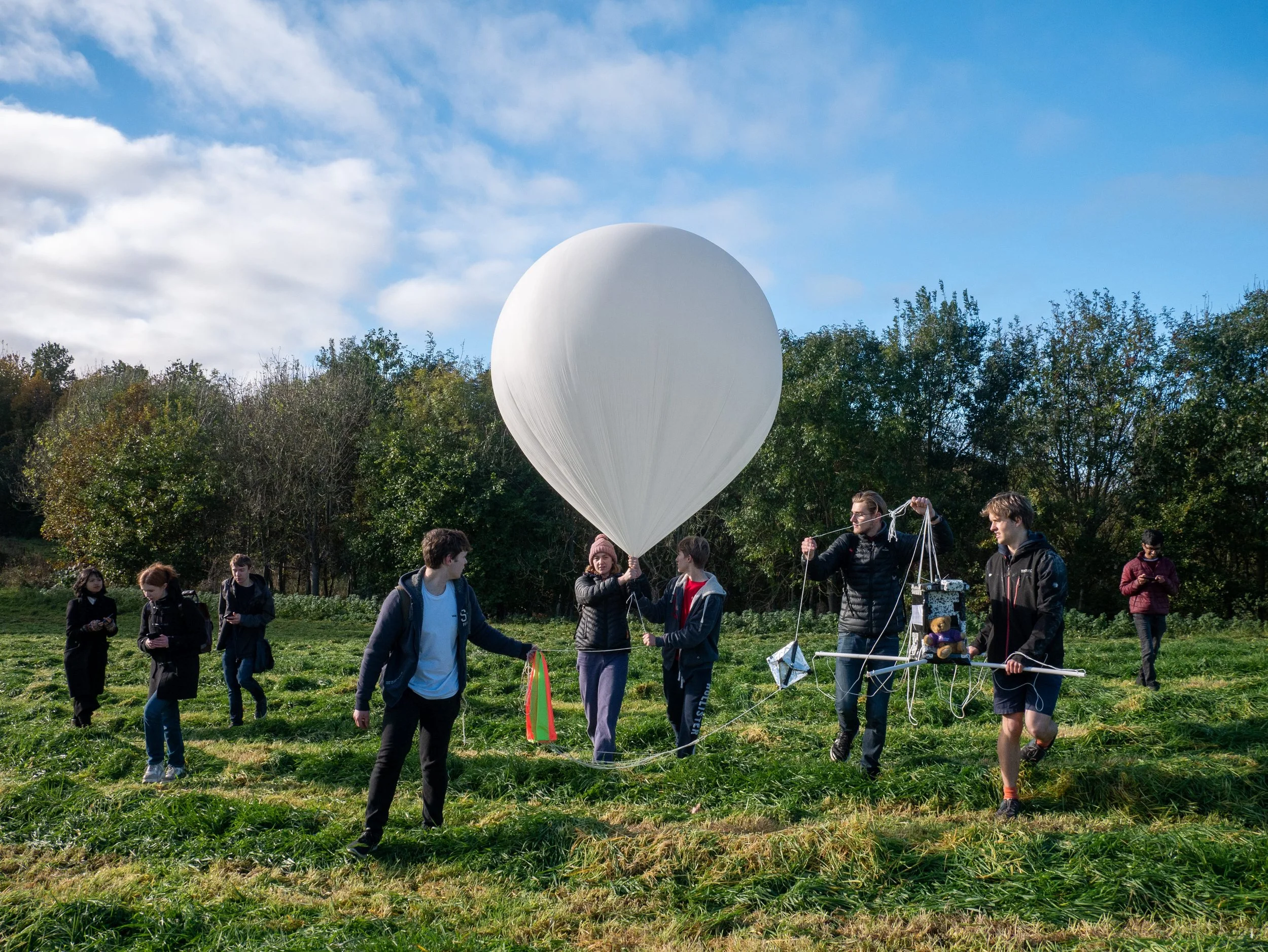
Our third high altitude balloon, Aether III, with helium kindly supplied by Richard Massey in the Durham Physics Department, embarked on its celestial journey on Wednesday, 14th June.
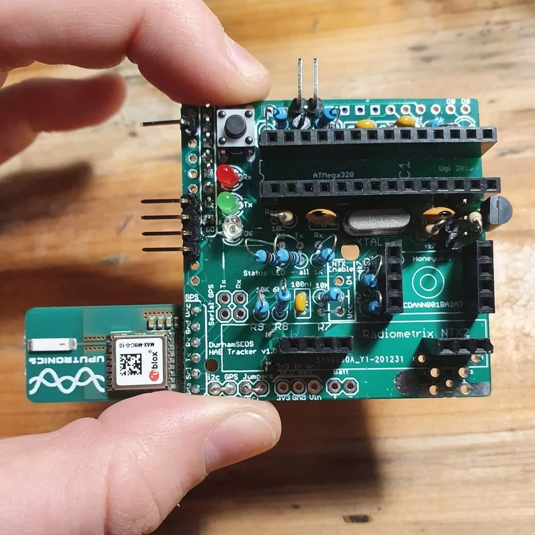
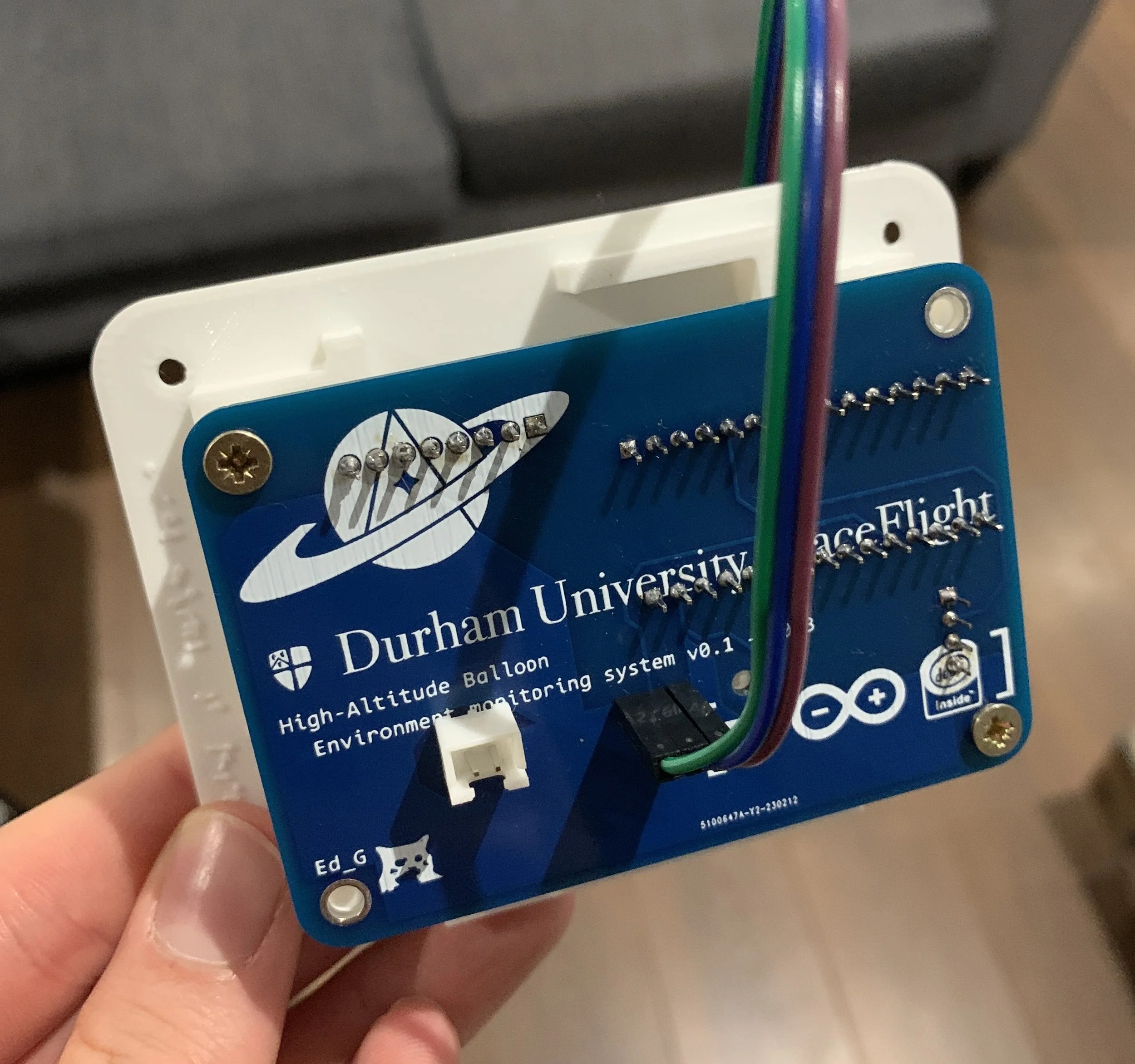
This mission marked a significant milestone as it carried our inaugural home-built GPS tracker, in addition to the Iridium-based solar tracker, we had used previously. The balloon also featured a set of experiments, such as an atmospheric monitoring board, collecting a plethora of data including UV measurements. The tracker exceeded our expectations, performing admirably up to 30km, before it stopped transmitting, likely due to power supply issues.
However, the balloon's fate was sealed by the combination of a late launch time at 4:30 pm and a slower-than-expected ascent rate, at only half of the anticipated speed. As a result, the balloon touched down after sunset, rendering our solar tracker ineffective in the absence of sufficient sunlight for signal transmission. Despite our diligent search on the Yorkshire moors that Sunday, daylight eluded us, and the balloon remained elusive